Author: Mike Hassur
I was sort of dreading this ride, because I wasn't certain if I had prepared well enough for it (~130 miles and 14,411' or more of climbing). The ride was scheduled for a Thursday to minimize our exposure to traffic. I had been gone for most of the previous week hiking in the Sun Valley, Idaho area. I got back on a Friday and left on Sunday with Kathy for a Sheryl Crow concert near Portland. I got back from that trip on Monday afternoon with two days to get my stuff ready for the Rainiering Ride (good planning, Mike... 👎👎). For any of you who might be unfamiliar with the term "Rainiering", it means to do a ride that includes an amount of climbing equal to or exceeding the height of Mt. Rainier (i.e. 14,411 feet). You can "Rainier" anywhere (all you need is a hill/mountain), but the classic place to Rainier is on... surprise... Mt. Rainier.
Our route for this year would consist of two legs. The first leg would take us up Cayuse Pass and on up to Chinook Pass. From there, we would head over to the climb up to the Sunrise Visitor Center and, then, make our way back over Cayuse Pass and down to the vehicles to restock with food and liquids. The second leg of the ride would take us up the east side of Backbone Ridge and down the west side before beginning our ascent up through Stevens Canyon to Reflection Lake and on up to Paradise. From Paradise, we would retrace our steps back to the vehicles where we would - once again - restock before climbing Backbone Ridge a few more times to get the requisite 14,411 feet (or more) of elevation gain.
 |
| "Rainiering" route & info... |
In the lead up to this ride I thought that we would have maybe 3-4 guys. Typically, this ride does not have a large number of riders. Whether that is because of the length, the elevation gain or the fact that it is on a Thursday; I'm not really certain; but this year we ended up with 8 guys (one who flew in from Colorado Springs and one who drove from Wenatchee and slept in the parking lot the night before) who were at the Grove of the Patriarchs by 6:15 AM getting ready to go. The group included Leon Matz (from Colorado Springs), Les Becker, Scott Wagar, Rob Davidson, Tom Broxson, Tom Peterson, Martin Katzberg (from Wenatchee) and me.
 |
| Grove of the Patriarchs Parking Lot (our starting point) |


We were on the road around 7:00 AM, and our first order of business was climbing the 11 miles or so up to Cayuse Pass.
 |
| Grove of the Patriarchs to Cayuse Pass... |
I had been concerned about hot weather for this ride as we'd had some very hot days this summer, but hot weather was not a problem as it turned out. The temperature at the start of the ride was in the low 50's, and it got cooler as we ascended toward Cayuse Pass. The Cayuse Pass climb is 11 miles long with a pretty consistent grade of about 6%. All of us had plenty of energy since this was the first climb of the day, and we "visited" our way up without too much trouble. The next portion of Leg #1 of the ride would take us from Cayuse Pass on up to Chinook Pass (this portion is filled with wonderful views)...
 |
| Cayuse Pass to Chinook Pass portion of Leg #1... |


 |
| Martin, Rob, Tom B, Les & Scott |
 |
| This photo is mislabeled. It is the view from Chinook Pass as Hwy 410 heads east toward Yakima... |
 |
| Photo by Rob Davidson |
At Chinook Pass, we paused just long enough to drink some liquids and grab a quick bite to eat (half of a peanut butter and strawberry jam sandwich in my case). The temperature was in the 40's at this point, so most of us put on a jacket or vest; because we would be descending back down to Cayuse Pass and further down to the turnoff that would lead us to the White River Ranger Station and the 13 mile climb from there to the Sunrise Visitor Center.
Portion of Leg #1 from Chinook Pass to Sunrise Visitor Center...
 |
| Chinook Pass to Sunrise Visitor Center portion of Leg #1... |
 |
| This photo mislabeled. We are heading down from Chinook Pass back to Cayuse Pass... |
 |
| White River Ranger Station... |
It was at this point of the ride that "all hell broke loose" - literally. We had passed through the White River Ranger Station and were beginning the long climb to the Sunrise Visitor Center when it happened. Tom B. was taking off his jacket while riding as we began to climb (something all of us have done a hundred times). As he was removing his jacket, one sleeve got wrapped up in his rear cassette. I was riding behind Tom; and, all of a sudden, I heard this racket in front of me. I looked up to see the sleeve of Tom's jacket fouled up in the rear cassette, his rear derailleur broken off and was laying on the road and his chain was broken. I was sure that Tom's day was finished at this point - but Rob Davidson had a "smart link" and a "chain tool"; and, unbelievably, Tom's bike was back in action albeit now it was a "one speed" in his very lowest gear. Equally unbelievably, he rode it all the way up the climb to the Sunrise Visitor Center! In the Sunrise parking lot, Tom decided to "change gears" (i.e. he decided to try to reposition the chain to a higher gear for the ride down). After some "chain manipulation" by Tom and Rob, we made it back to the White River Ranger Station; but that was about it for Tom's bike. We still had to negotiate the north side of Cayuse Pass and descend the other side to get back to the vehicles. It was pretty clear that Tom's bike was not going to make it. The other Tom, Tom Peterson; volunteered to ride ahead to get his large SUV to bring Tom Broxson and his bike back to our vehicles at Grove of the Patriarchs. The plan was that - after we got Tom Broxson and his "wounded" bike back to the cars - the rest of us would begin Leg #2 of the ride (i.e. Backbone Ridge, the Stevens Canyon climb to Reflection Lake and on up to Paradise).
While Tom Peterson was driving back over Cayuse Pass to pick up Tom Broxson, most of the rest of our group (me, Les, Leon, and Rob) decided to kill some time by climbing the east side of Backbone Ridge (5.8 miles, 1,100' of elevation gain).
Eventually, we all ended up back at the vehicles. Tom Broxson was heading home (I am convinced that he would have completed this ride were it not for bad luck), and the rest of us were ready for Leg #2. I hadn't said anything to this point, but I was not going to ride with the group to Paradise. The bracket that connected my seat post to the rails of my saddle had broken a couple of weeks prior to this ride. We had "jury rigged" it so that I could complete that ride, but I had not gotten the new parts (they were in the mail) to replace that problematic bracket. I had noted the apparatus that supported my saddle making noise (clicks and pops) on Leg #1 of this ride, and I decided that I wanted to stay relatively close to the vehicles in case that bracket failed again. That meant that my "Leg 2" for this ride consisted of repeats on Backbone Ridge, while most of the rest of our group headed on up to Paradise. Luckily for me, Leon decided that he too wanted to do "repeats" on Backbone Ridge rather than heading up to Paradise - so I had some welcome company. (Let me digress for a moment... Leon Matz and I had been neighbors, friends and riding companions for close to 25 years before he and his wife, Fran, moved to Colorado Springs, CO last summer. Leon was training to qualify for the UCI Age Group World Championships this year before he crashed and had to forego that goal. Eventually, he decided to shift his focus to doing this year's "Rainiering Ride" with us - much to our/my delight; so having the opportunity to visit with Leon during Leg #2 of this ride was a real bonus for me.)
I can't speak to the "Paradise portion of Leg #2", but the Backbone Ridge portion was great. Leon and I (and, eventually, Martin) had a wonderful time climbing (repeatedly) and visiting. Eventually, the "Paradise guys" returned and joined us on Backbone Ridge as they still needed some elevation gain to complete the "Rainiering" requirement. Actually, this was probably my favorite part of the ride. We were all tired, but we totally enjoyed "visiting" our way up Backbone Ridge together those last few times. It was awesome!! (I want to give a special "shout out" to Tom Peterson at this point. He was lagging behind the rest of us in terms of his elevation gain, because he had helped to transport Tom Broxson back to the vehicles after the mechanical problems. In spite of that, Tom Peterson persevered and got the required elevation gain to "Rainier". Thanks, Tom, for your generosity and your perseverance - you are a stud)!!
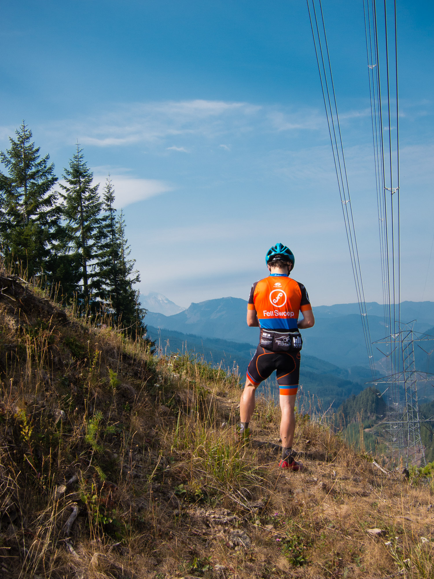
I didn't include any photos from Leg #2 of this ride, because I wasn't with the group to Paradise and because I was too tired to be taking photos on Backbone Ridge. I will simply leave you with these photos from the end of our ride (unfortunately, I didn't get a photo of the entire group together)...

 |
This has to be one of my favorite all-time rides. I've "Rainiered" four or five times before this, but this was a great group of guys with whom to do this ride; and - in spite of some adversity - everyone adapted and seemed determined to make this a great ride - MISSION ACCOMPLISHED!!